

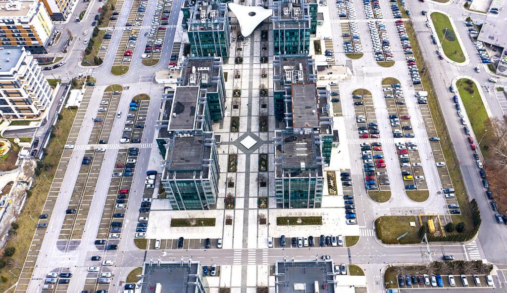
Assess efficiently with full-scale GIS and sketching solutions
The Future of
GIS & Sketching Technology
Local governments can rest assured that all assets of data are accurate when using our highly flexible suite of tools. From adaptable maps to exact building sketches, our sketch and mapping solutions help agencies operate with optimum efficiency.
Integrated Technologies
Integrate your mapping and graphical sketching technologies for precise assessing and valuation analyses.
Full Feature Sketching
Draw your sketch with a mouse or keyboard and update to reflect the building form and values.
Customizable Maps
Configure maps, reports, and search tools to meet the unique needs of your local government.
Accurate Calculations
Sync sketches and maps with CAMA software for your calculations and analytics.
Features built for a
Modern Government
Ownership History Data
Our property tax collection software allows you to maintain full-scale property information and quickly communicate changes so all parties can review up-to-date records.
Tax Calculation
Calculate taxes and print tax bills across multiple formats for both real estate and personal property.
Robust Reporting
With our solution, your local government can review extensive reports detailing transactions and deposit history.
Cloud & Premise-Based Systems
Install a cloud-based or on-premise solution to access your information from wherever you choose.
Integrated Technologies
Integrate your mapping and graphical sketching technologies for precise assessing and valuation analyses
Full Feature Sketching
Draw your sketch with a mouse or keyboard and update to reflect the building form and values
Customizable Maps
Configure maps, reports, and search tools to meet the unique needs of your local government
Accurate Calculations
Sync sketches and maps with CAMA software for your calculations and analytics
Features built for a modern government
Real-Time Synchronization
Our progressive sketch mapping solution applies updates when parcel records change and automatically implements modifications to your software.
Reporting & Auditing
Improve reporting and auditing across departments with reliable analytics.
Standalone Option
You can choose to use our graphical sketching technology with our CAMA solution, or pair it standalone with another software platform.
Better Communication
Boost communication efficiency with the ability to save and share maps across the office, tailored to meet each department’s needs.
Have Questions?
Great Possibilities
Are Waiting For You
We’re always interested in new projects, big or small. Please don’t hesitate to use the form to contact us regarding your municipal project needs.
Learn more about the Catalis solutions that are modernizing governments across North America.
Explore more Tax & CAMA solutions
Billing & Collections
Streamline your billing and collections process with a cloud-based solution. Our platform replaces the need for multiple vendors through billing, collections, cashiering, and more.
Escrow Payment Management
Simplify escrow payments with automated workflows, seamless refunds, and robust reporting. Reduce duplicate payments with software that ensures accuracy.
Computer Assisted Mass Appraisal (CAMA)
Deliver accurate and consistent property values for all-size jurisdictions. Leverage a comprehensive solution that prioritizes reliability and compliance.
Mass Appraisal Services
Assist jurisdictions in the assessment process with complete mass appraisal services including data verification and property valuation.
Property Tax Oversight & Administration
Our fully configurable suite of web applications gives administrators access to data that supports automated workflows and improved analytics to ensure fair and equitable taxation.